Sea Surveyor owns and operates two (2) vibratory corers (Vibracores) capable of collecting continuous core samples of 5’, 10’, 15’, 20’, or 30’ lengths. The sediment cores are contained within clear, 3.5”-diameter, chemically-inert liners that can be cut into...
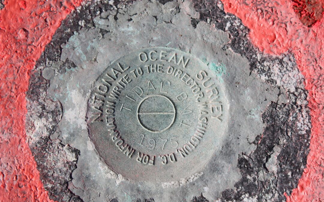
Land Surveyors provide NAVD-88 elevations for tidal benchmarks. NOS Tide Station Tidal Benchmark NOAA-Compliant Tide Station Submittals Include: Transmittal letter Data Checkoff List Tide Station Xpert Site Reports Chartlets and USGS Quad Map Permits and Property...
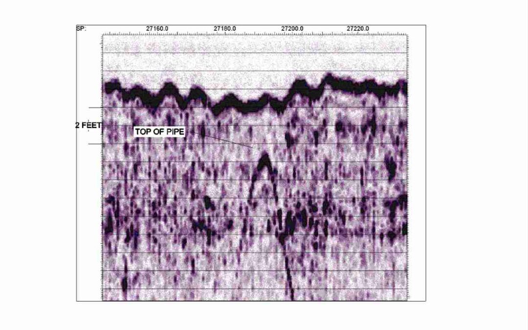
Sea Surveyor has over 25-years experience at surveying submerged pipelines located on, or buried beneath, the seafloor. We use Sophisticated geophysical sensors to determine a pipeline’s exact location and depth-of-burial, including side-scan sonar,...
Paleochannels are ancient riverbeds created when sea level was lower that now lie buried beneath the seafloor, filled with aggregate (sand/gravel/cobbles). Sea Surveyor uses sophisticated seismic reflection and refraction techniques to map buried paleochannels....
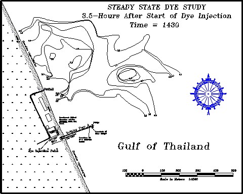
Sea Surveyor owns and operates numerous types of sophisticated oceanographic sensors that monitor tides, waves current speed and direction, and diffusion/dispersion. Typical applications include: CURRENT MONITORING: • InterOcean S-4 meters are used to measure...
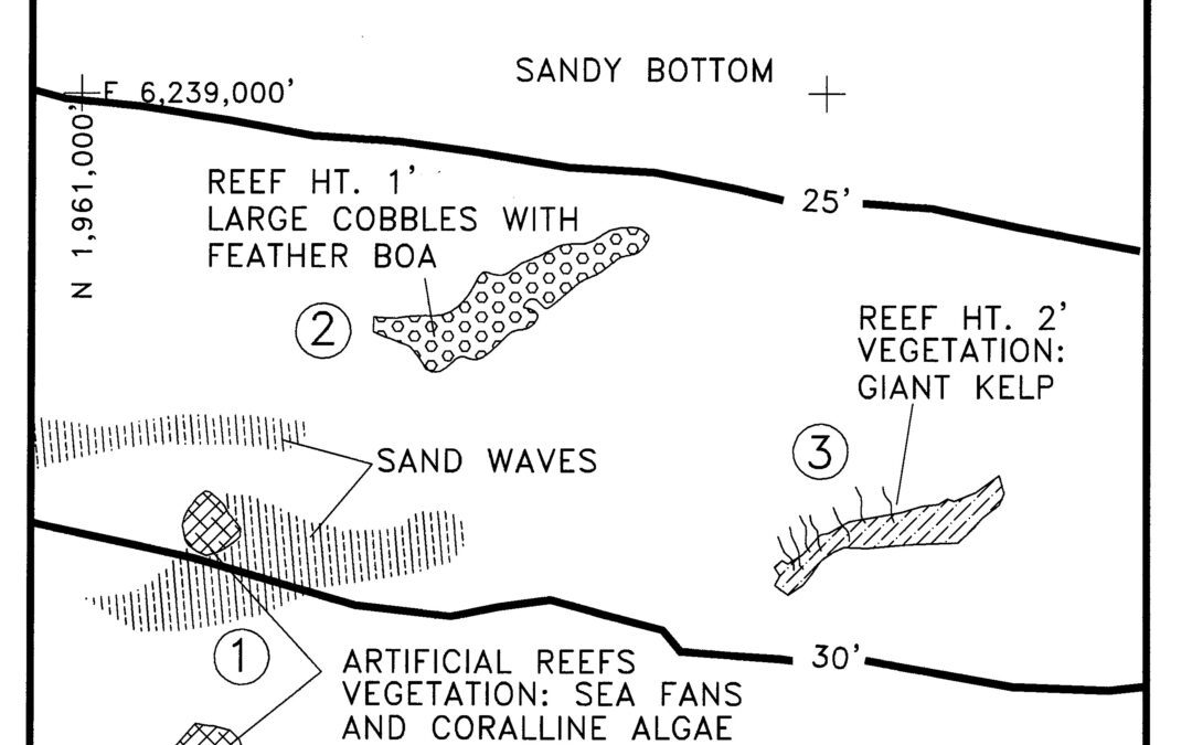
Sea Surveyor has been conducting marine vegetation surveys for environmental companies and regulatory agencies since the early 1990’s. With our extensive experience and new high-resolution sonar equipment, Sea Surveyor can produce highly-accurate charts showing...