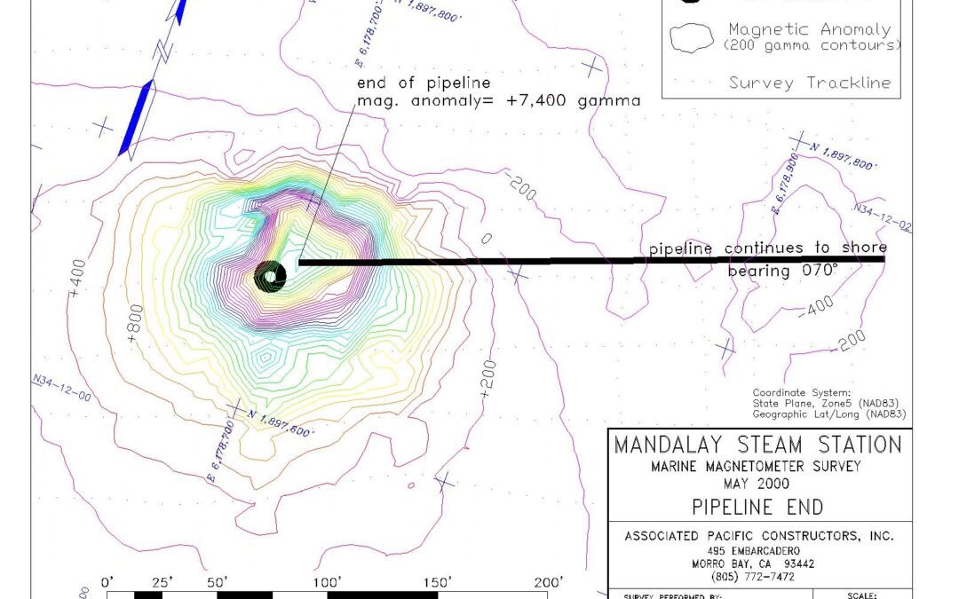
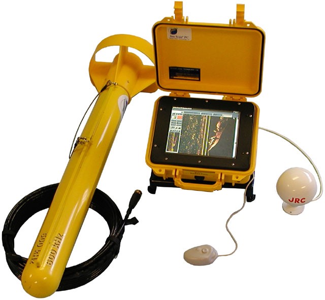
The Marine Magnetometer is the best tool for locating sunken ships, lost anchors, buried pipelines, and other underwater objects containing ferrous metal that disrupt the Earth’s magnetic field. Sea Surveyor uses a GEOMETRICS Model 882 marine magnetometer to...
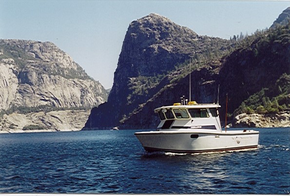
Sea Surveyor has surveyed over 50 lakes and reservoirs in 5 Western States, ranging in elevation from sea level to over 7,000’. Our tow vehicles have moved our survey boats over 9,000’ mountain passes, and launched the boats in lakes without boat ramps. Our vessel’s...
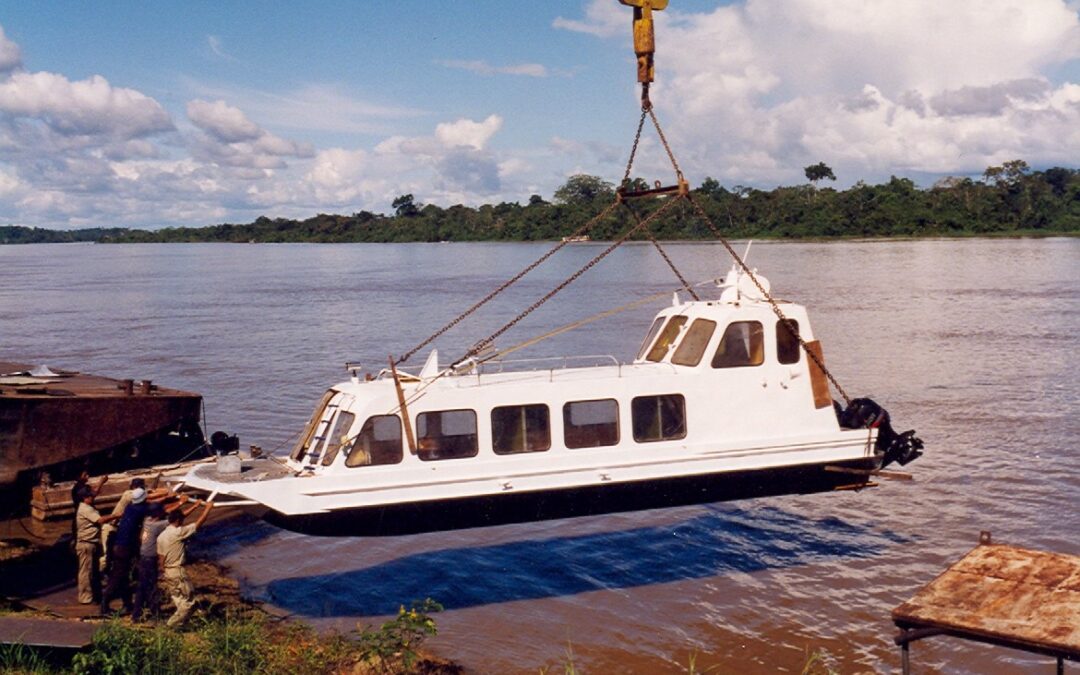
Sea Surveyor has 23-years of experience at conducting marine surveys at remote, international locations. We have successfully conducted oceanographic and marine geophysical surveys on 5 of the earth’s 7 continents. We can provide quick mobilization and on-site...
Class 1 Hydrographic Surveys Sea Surveyor conducts hydrographic surveys using single-beam and multibeam depth sounders with hull-mounted transducers. We use the most stringent Class 1 standards required by the U.S. Army Corps of Engineers for pre- and post-dredge...
Geological Mapping Sand Resource Mapping Pipeline Inspections Underwater Archaeology Vegetation Survey Site Characterization Sea Surveyor is expert at using sophisticated marine geophysical sensors to make reliable maps of the seafloor and subbottom geology for: ...
Sea Surveyor uses a lightweight Mini-Cone CPT to rapidly profile soils characteristics to a penetration depth of 6m (20-feet) below the seafloor. Enclosed within a self-righting seabed cage, the Mini-Cone CPT straightens and pushes a coiled rod into the sediments. ...