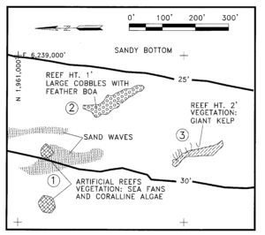
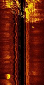
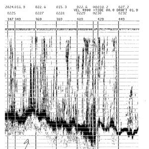
 Sea Surveyor has been conducting marine vegetation surveys for environmental companies and regulatory agencies since the early 1990’s. With our extensive experience and new high-resolution sonar equipment, Sea Surveyor can produce highly-accurate charts showing the spatial distribution and density of different species of marine vegetation, as well as water depth, sediment type, and size/shape of reefs.
Sea Surveyor locates and delineates reefs and areas of marine vegetation using a high-frequency side-scan sonar and a survey-grade fathometer. After the sonar data is interpreted aboard the survey boat, a detailed chart is produced that allow divers to immediately confirm the vegetation type, vegetation density, and reef height.


