Completion Date: 2012
Contract Value: $285K
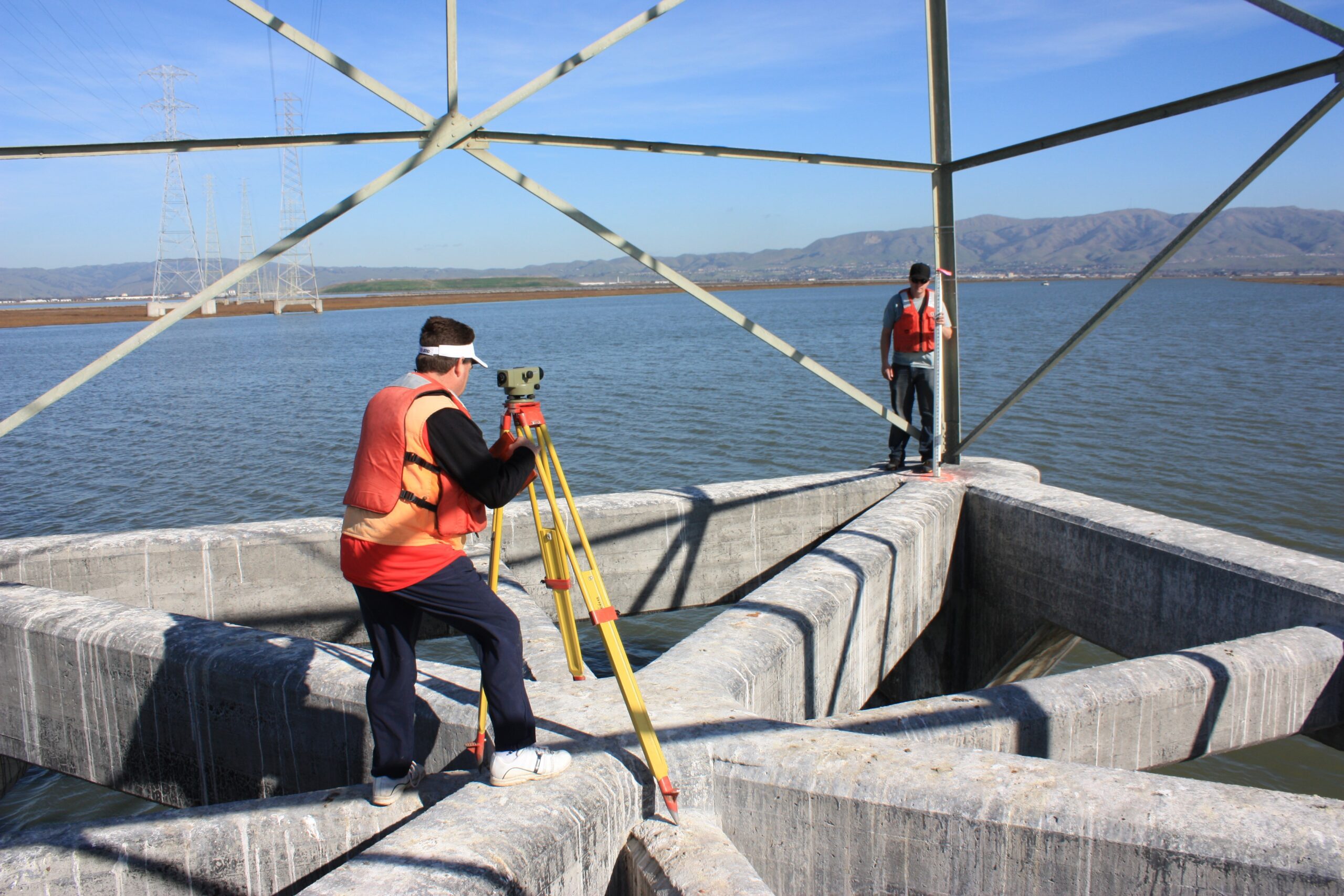
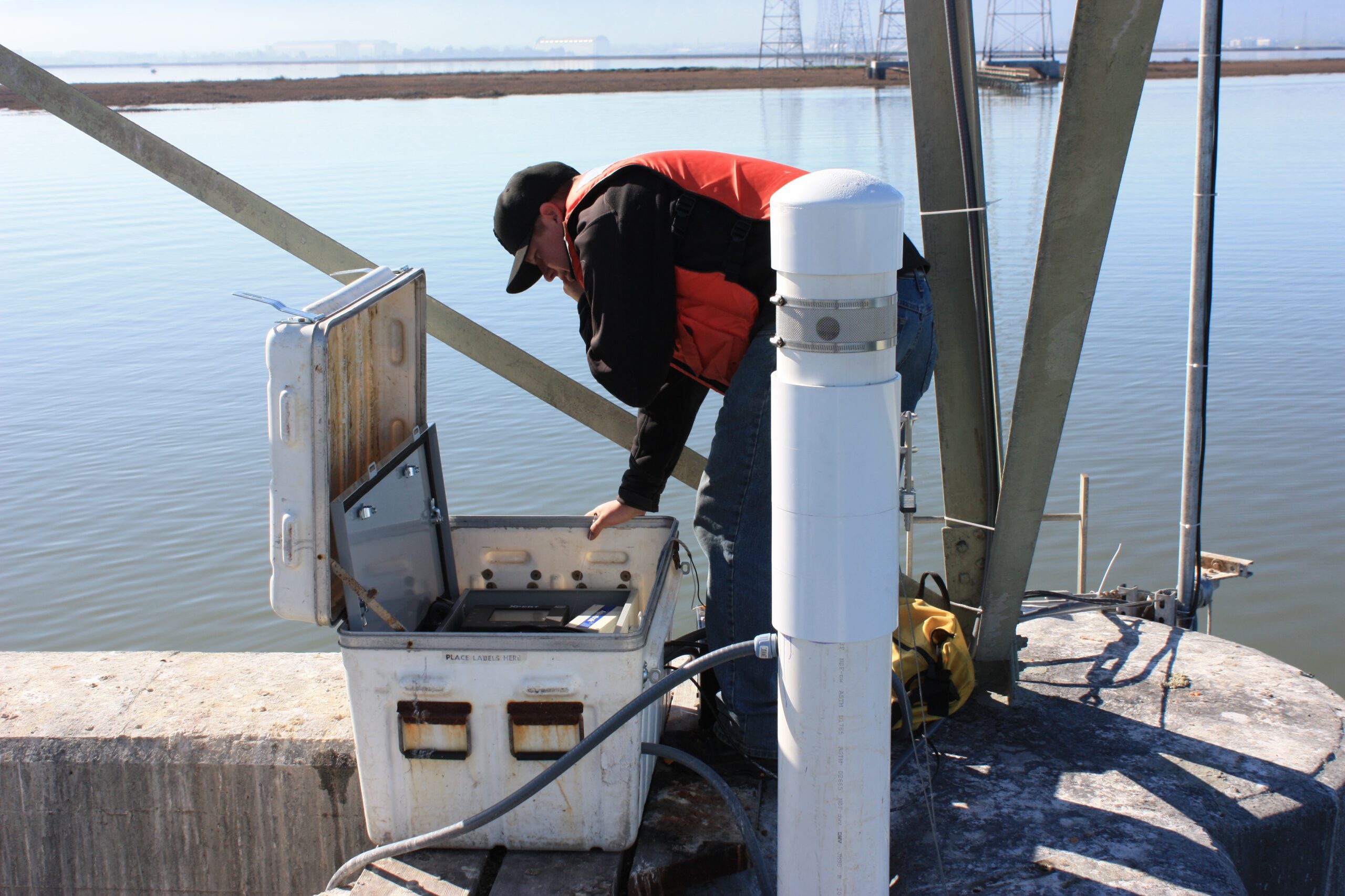
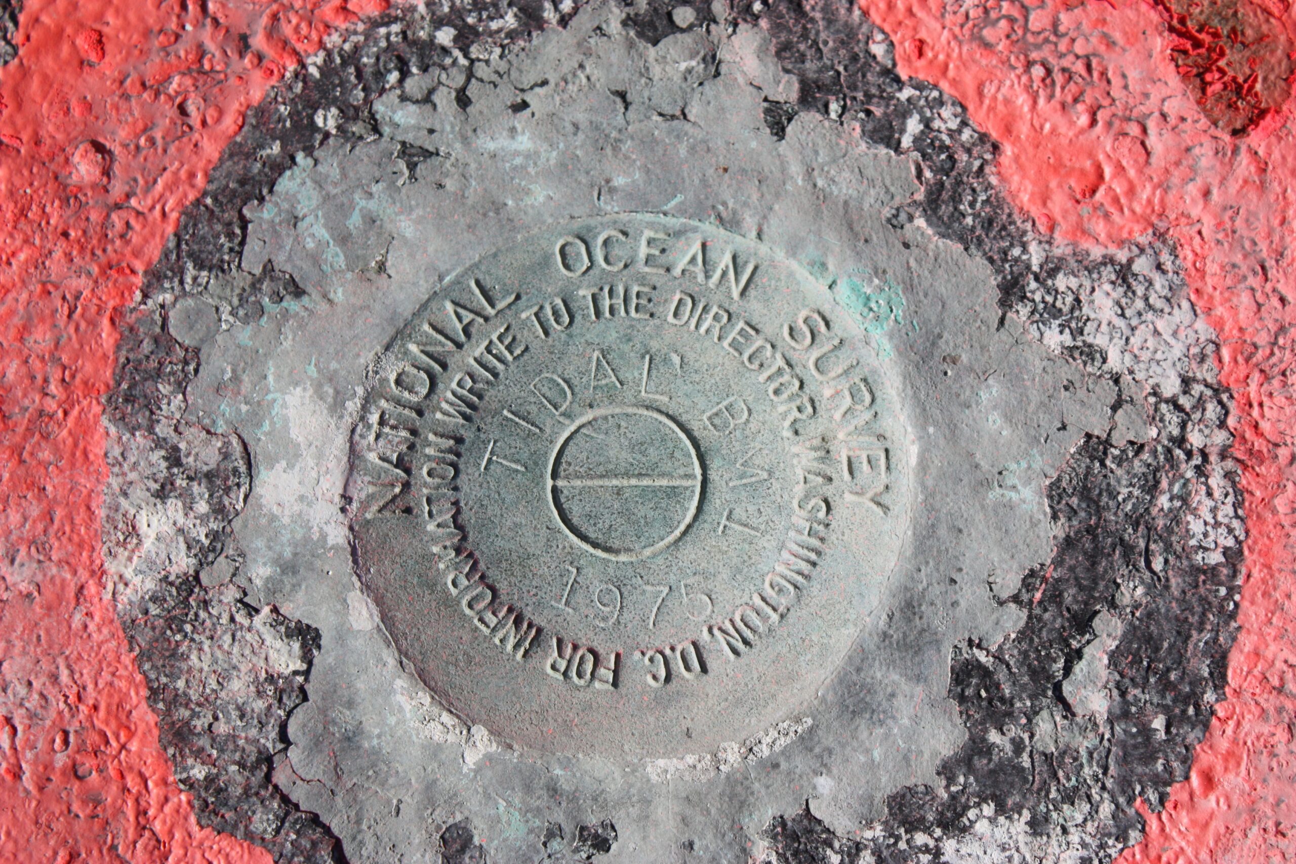
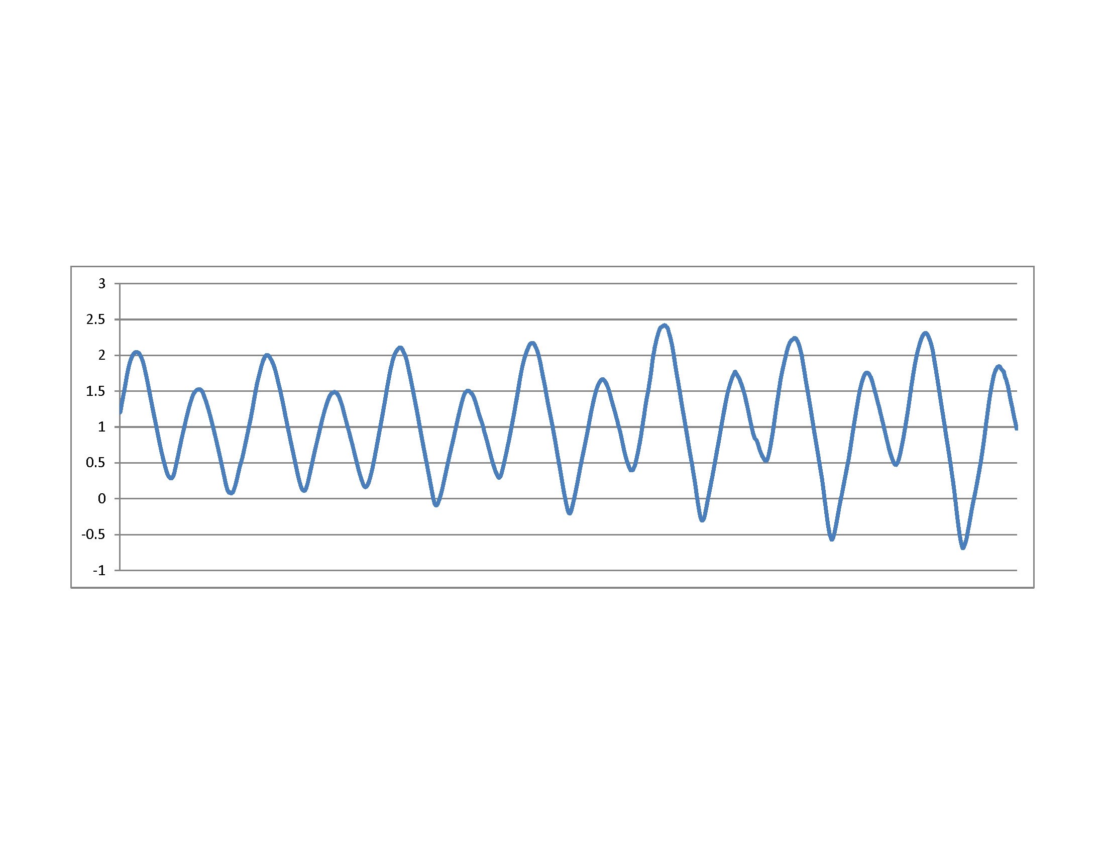
Steve Sullivan of MBC conducted a 1-year comprehensive evaluation of project datums (CEPD) in support of the South San Francisco Bay Salt Pond Restoration Project managed by the US Fish & Wildlife Service. Mr. Sullivan installed NOAA-compliant water level station at two (2) historic NOS tide stations, including Dumbarton Bridge East Fishing Pier (NOS Station 941-4509) and an electric transmission tower located at the confluence of Coyote Creek/Alviso Slough (NOS Station 941-4575). Mr. Sullivan installed Aquatrak acoustic tide gauges inside stilling wells and monitored water surface elevations at 6-minute intervals for continuous periods of 6-months at Dumbarton Bridge (Aug. 1 to Sept 7) and 1-year at Coyote Creek/Alviso Slough (March 2011 to March 2012). Based upon the tide measurements, sea level elevations were computed using NOAA-compliant methods and standards. Water level data was recorded on-site by SUTRON and STEVENS dataloggers, and cellular modems transmitted the data to a website, where the real-time data was reviewed and underwent rigorous quality control. Registered land surveyors installed new tidal benchmarks at both tide station locations and established their NAVD-88 elevations.
NOAA-Compliant Tide Station Submittals Include:
1. Transmittal letter
2. Data Checkoff List
3. Tide Station Xpert Site Reports
4. Chartlets and USGS Quad Map
5. Permits and Property Owner Agreements
6. Benchmark Descriptions & “To-Reach” Statements
7. Sensor Elevation Drawing
8. Sensor Elevation Diagram
9. Calibration Certificates
10. Bench Mark Sketch
11. Photos of Benchmarks, Tide Station, DCP, & Well
12. Levels and Field Notes of Precise Leveling
13. Staff to Gauge Observations
14. Datum Offset Computation Worksheet
15. GPS Deliverables
16. Water Level Data
17. Tide Calculations
tidal 2

tidal 3
tidal 4

tidal 5
tidal 6