
Client: U.S. Bureau of Reclamation
Contact: Jerry Lumsden
Completion Date: 2008
Contract Value: $320K
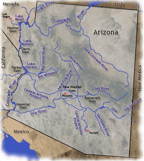
The river survey extends 297-miles, from Davis Dam to the Mexico border
The US Bureau of Reclamation contracted our client, TETRA TECH, to map 297-miles of the Lower Colorado River. The survey area extended from Davis Dam in Laughlin, Nevada to the US-Mexico border near Yuma, Arizona. Sea Surveyor collected cross-sectional river soundings that TETRA TECH combined with aerial topography to create a continuous surface model that the Bureau will use for hydraulic modeling and analyses. HJW GEOSPATIAL, INC. conducted aerial photogrammetry for the project and land surveyors from TETRA TECH, INC. established NGVD-29 benchmarks.
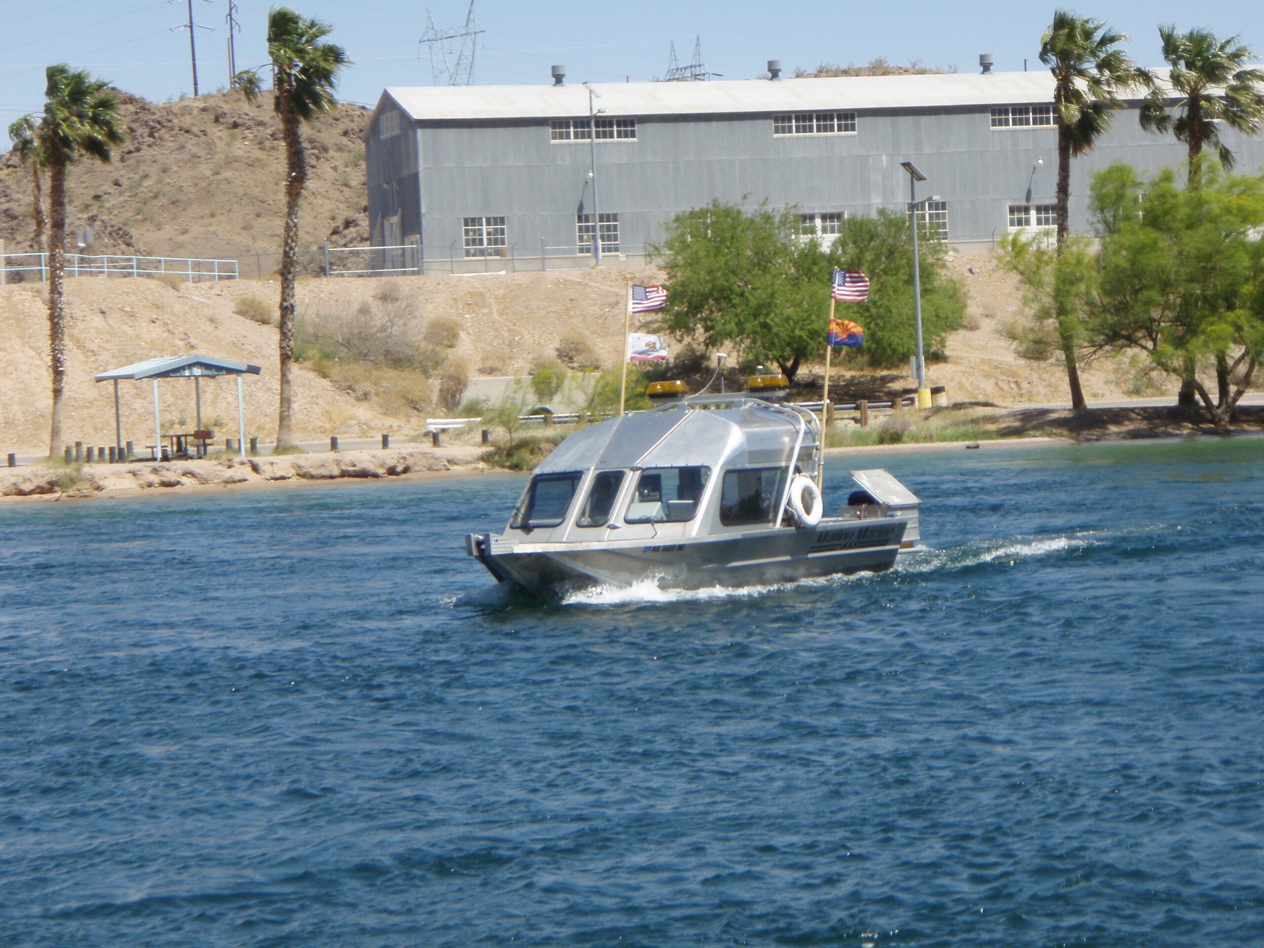
Sea Surveyor used a 21-foot jet boat to measure water depths along bank-to-bank river cross-sections spaced at 100’ intervals. The survey boat is equipped with differential GPS navigation and digital depth sounder. Water depths were converted to riverbed elevations using river surface elevations monitored by underwater pressure sensors deployed at 5-mile intervals along the river.
In addition to mapping the Lower Colorado, river sediments were collected at 5-mile intervals and delivered to the Bureau for grain-size analyses and comparison against historic geomorphology.
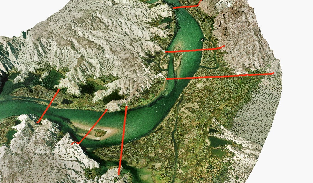
3d hydro map
3-D Topo/Hydro Map of Lower Colorado River. Red lines are location of historic cross-sections.
colorado
A 21’ survey boat collects soundings along bank-to-bank river cross-sections spaced at 100’ intervals